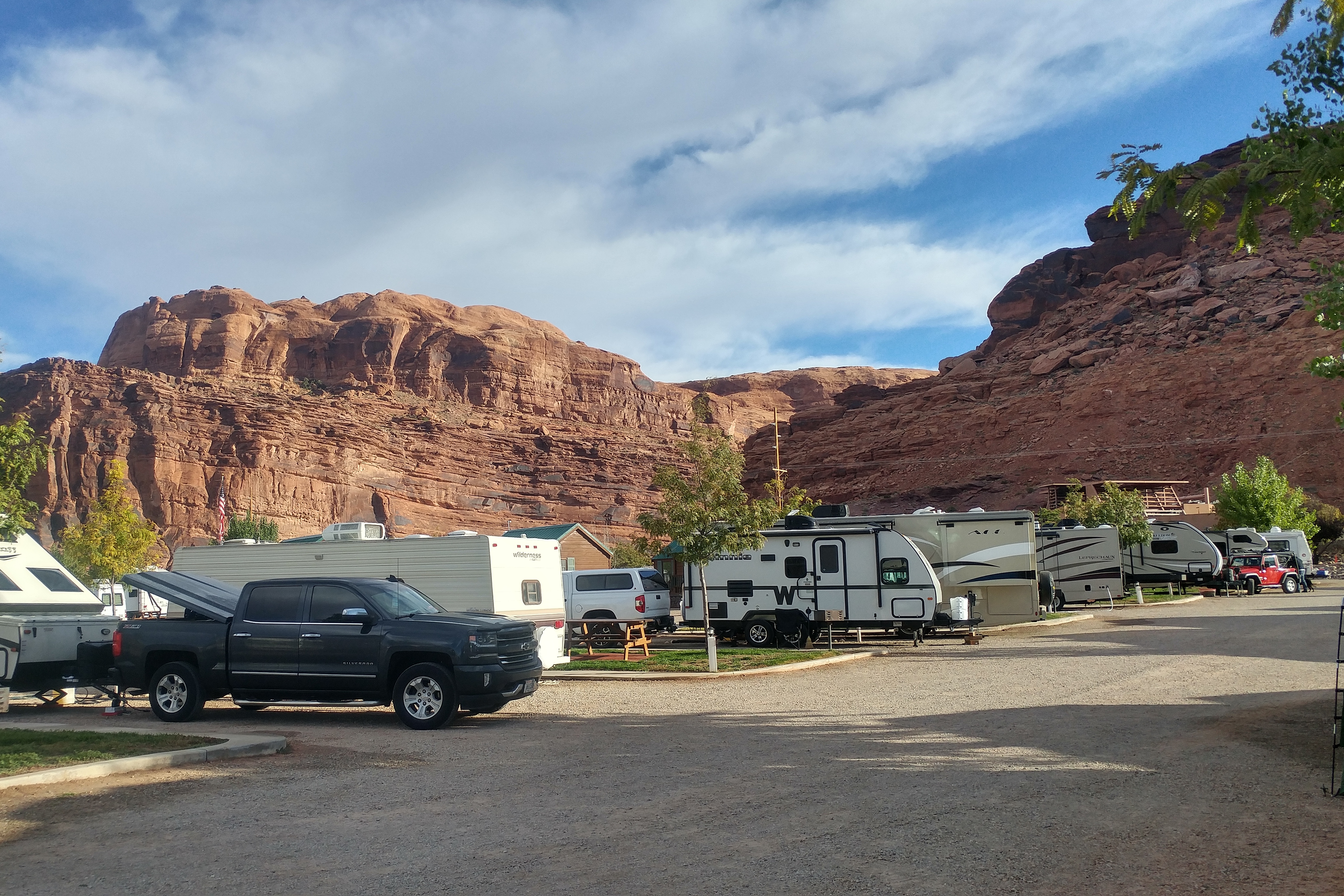
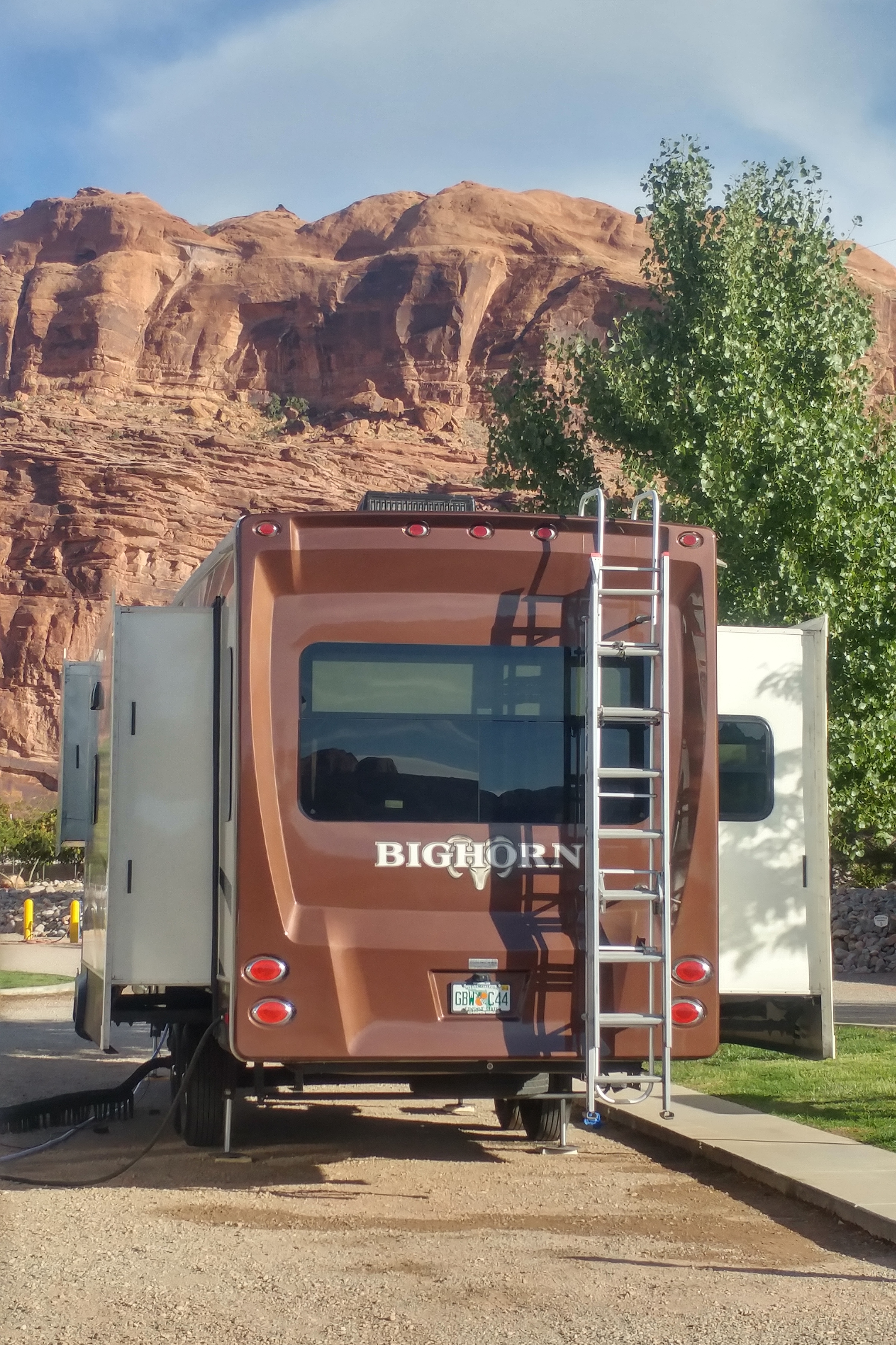
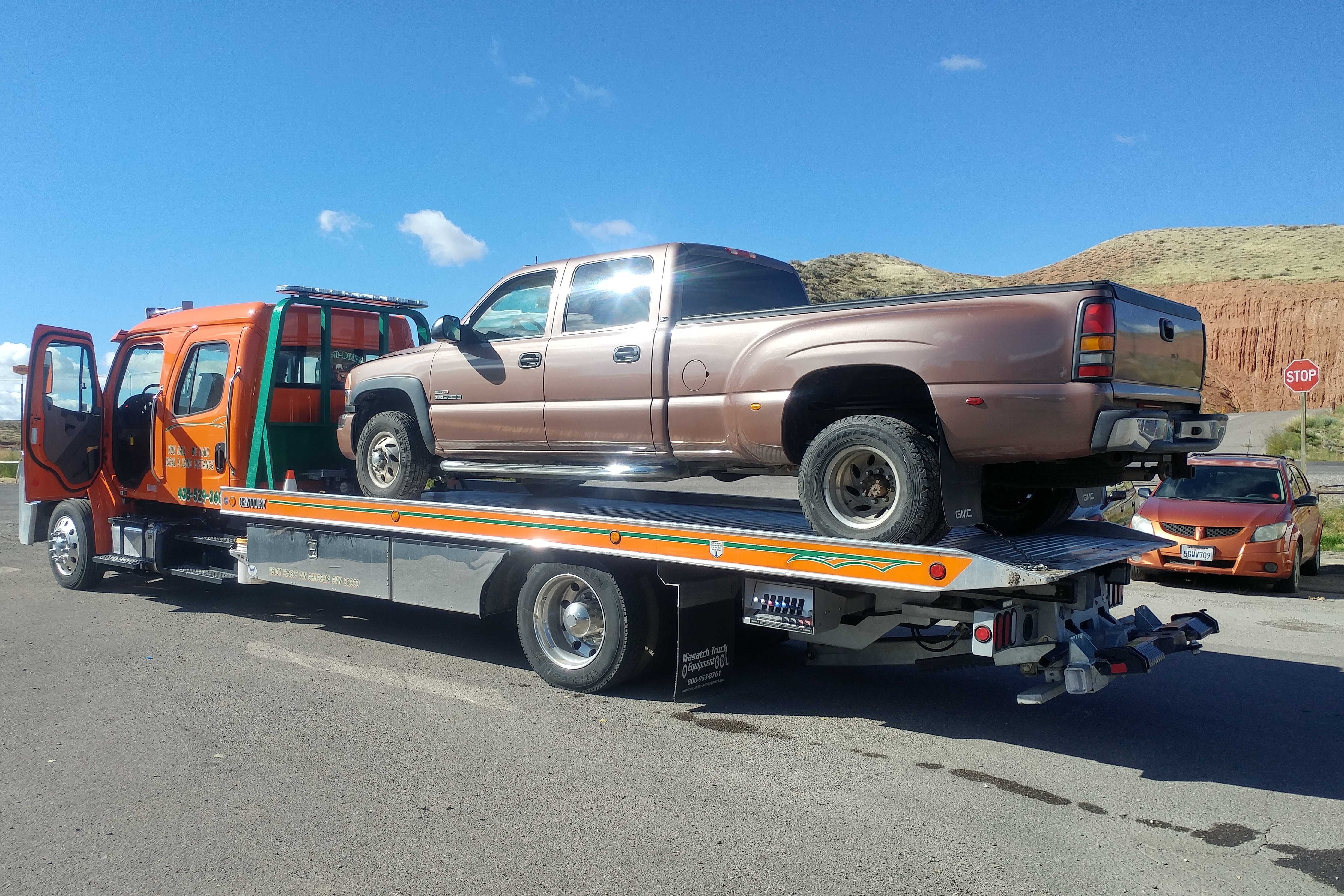
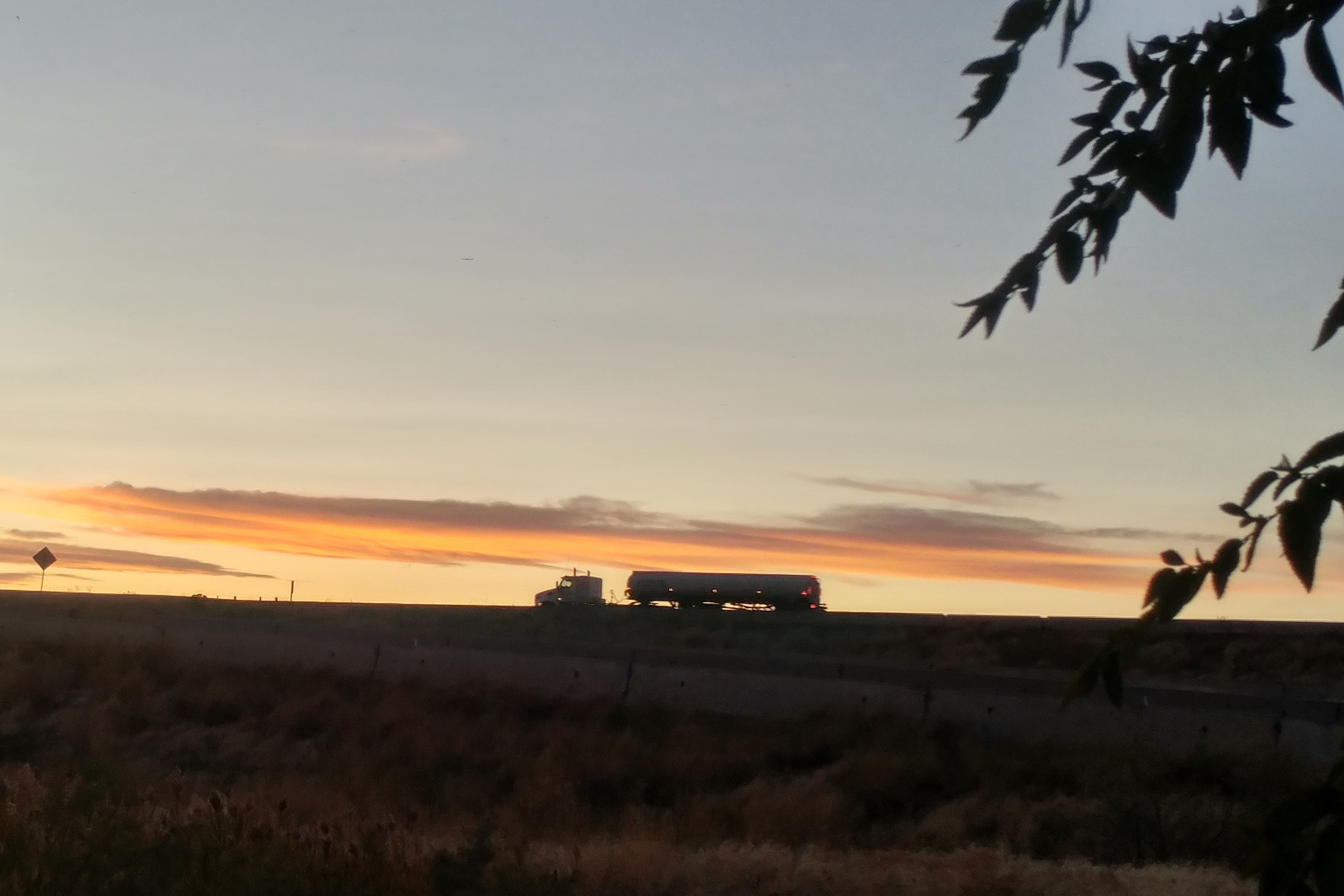
Our baby on the flatbed
We are, tonight, sleeping for a third night in a place we never intended to visit – Salina UT. The truck had some kind of major electrical problem which prevented it from running smoothly. Compounding that problem was our older battery (the truck has 2) which decided to pile on and fail. I was unable to even start the truck this morning (in 30-degree temperatures, with frost on the windshield) to drive it 100 yards to the repair shop. It just barely turned over and acted as if both batteries were completely drained. When I tried to start it again, about 15 seconds later, it started fine, no problem at all. But the clock had been reset because the voltage had gone so low, temporarily, that it couldn’t keep its time. Weird.
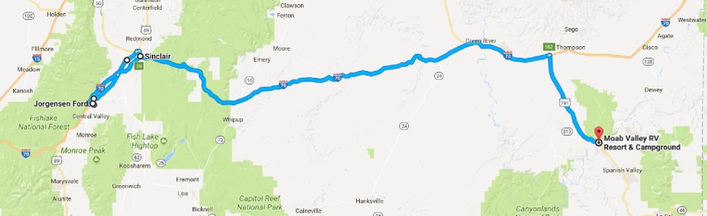
Anyway, I got the truck to the shop around 9am. Fortunately they were actually working today (Columbus Day). But the mechanic admitted that he had never worked on a DuraMax engine and from what he could see of the problem the cylinder head would have to be removed – very expensive! He recommended that I have it towed 20 miles to Richfield to the GMC dealer there.
I called the GMC dealership and they agreed to take a look, but made no promises on when it could be worked on. Lacking any other options, I loaded the truck onto a flatbed for a $150 mile trip to the dealership.
I told the dealership that I would need a rental car, assuming that there was no possibility that they would be able to diagnose and fix the problem in one afternoon. They gave me the number of the local Enterprise office. I called. No cars. Maybe some later today. I left my number and asked them to call me back when they had a car.
Being noon and having nothing better to do, I walked the 1.5 miles to the Enterprise office. Closed for lunch. So I walked over to a drive-in diner and had a decent lunch. After lunch I checked the Enterprise office again. Still closed. So I walked the half mile to the only other car rental place in town, housed at the local Ford dealership. They had cars, so I rented one, drove to the nearby Walmart to do a bit of shopping, then drove back to the GMC dealership where they were busy diagnosing my problem. I sat and waited and an hour later – around 2:30pm – the service manager came to me, said they think they had found the problem and could fix it in about 1.5 hours. I gave my blessing.
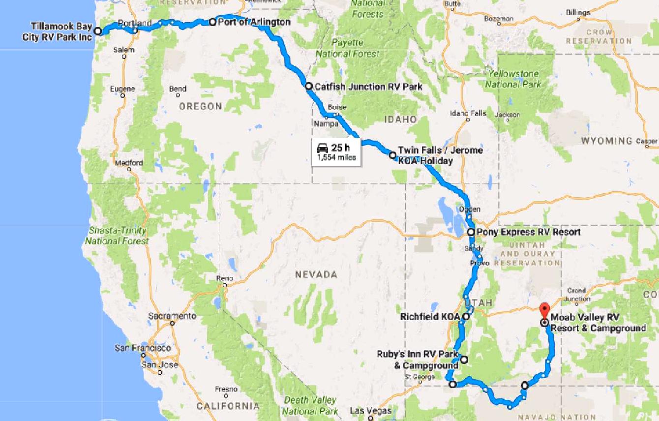
I got the truck back around 4:30 and immediately set off on a 10-mile test drive on local streets and I-70. Everything seemed fine. However, I won’t be convinced that the problem is truly fixed until I try towing the RV. So tomorrow morning we are going to hitch up, travel the 20 miles to the GMC dealership and, if everything is fine, pick up the rental car, return it and set off on the next leg of our journey.
If we have problems during that towing test drive we will limp to whatever RV campground is most convenient, unhitch, drive the truck back to the dealership, leave it for additional diagnostics, pick up the car and return to the RV.
And settle in for however long it takes.
The electrical problem was caused by a faulty injector connector. Cost of the part: $89. Cost of the new battery: $124. Total cost, with tow: about $600. Not cheap but cheaper than any kind of fix that would have required removal of the cylinder head.
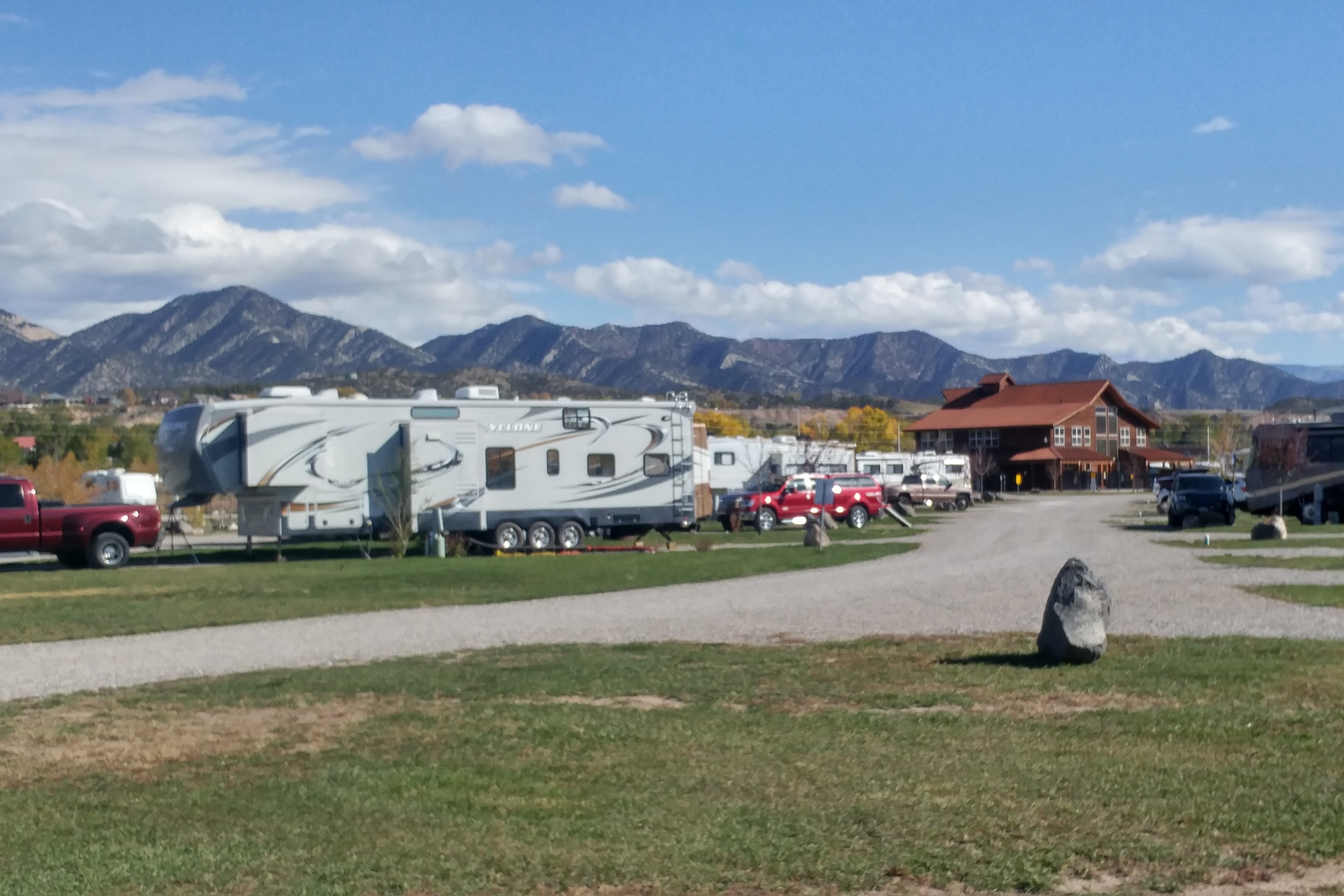
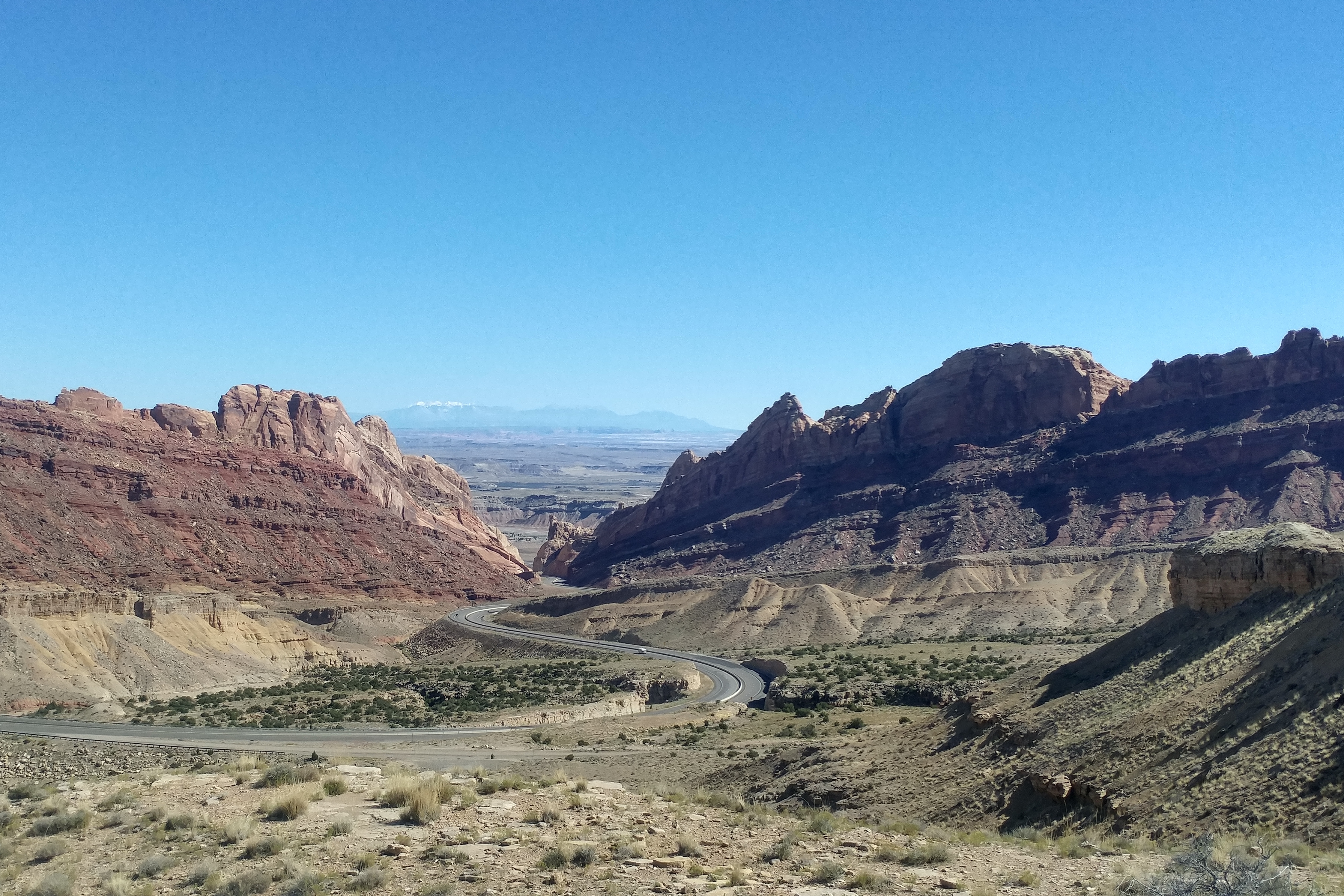
Needless to say, we are praying that the problem is truly fixed. We want to continue on our way. It is becoming rather urgent that we get across the Rockies soon: Denver had 4 inches of snow last night.
Keeping fingers crossed for a successful test drive tomorrow…
Oh – I am still waiting for Enterprise to call back.